Author: Al Ranger. Published by Al Ranger Books, Parksville, BC., 1986, 1st Edition. SIGNED by the Author on the front free page. Printed in Canada. Almost New Condition SOFTCOVER Book, with light cover wear. Clean inside, tight spine. Size: 11.75 x 8.25 inch, 116 pages.
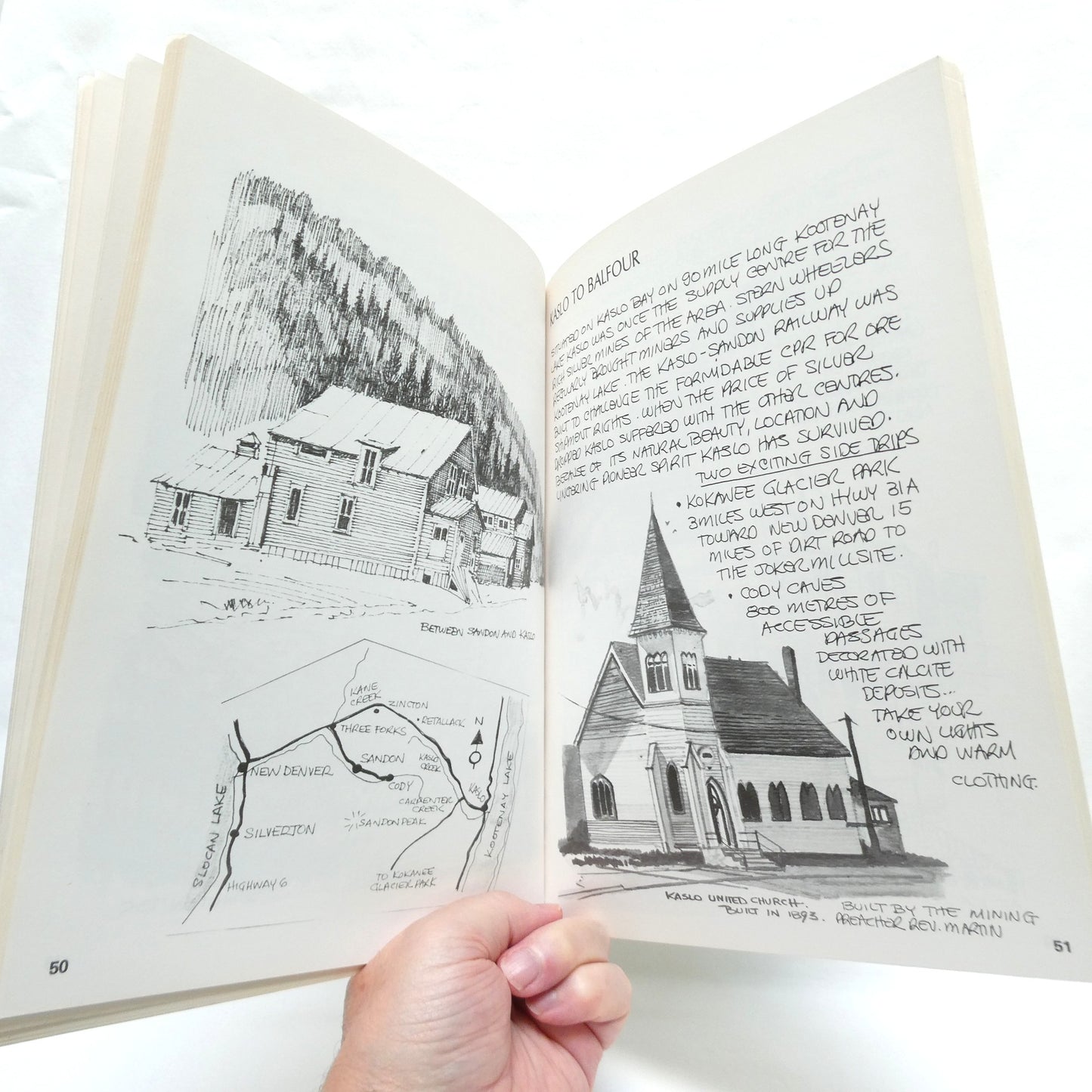
THE KOOTENAYS, INCLUDING THE BRITISH COLUMBIA ROCKIES, Sketches, Maps, and Trip Notes by Al Ranger, is overflowing with the artists black and white drawings from Canada's west coast.
The book serves as a creative, hand-drawn travelogue and field guide dedicated to the rugged backcountry of southeastern British Columbia. Instead of relying on traditional photography, the core appeal of this work lies in its artistic documentation of the wilderness. It captures the unique spirit of the Kootenay region by blending literal navigation with visual storytelling.
Hand-Drawn Sketches: The book is primarily illustrated with Ranger's original black-and-white drawings, capturing the dramatic mountain peaks, alpine valleys, and historic towns.
Custom Maps: It features stylized, hand-rendered maps that outline routes throughout the British Columbia Rockies, the Purcell, and Selkirk mountain ranges.
Trip Notes: The written text consists of personal field notes, local history fragments, and practical backcountry observations that guide hikers and road-trippers through the wilderness.