Gillmore Coins & Collectibles
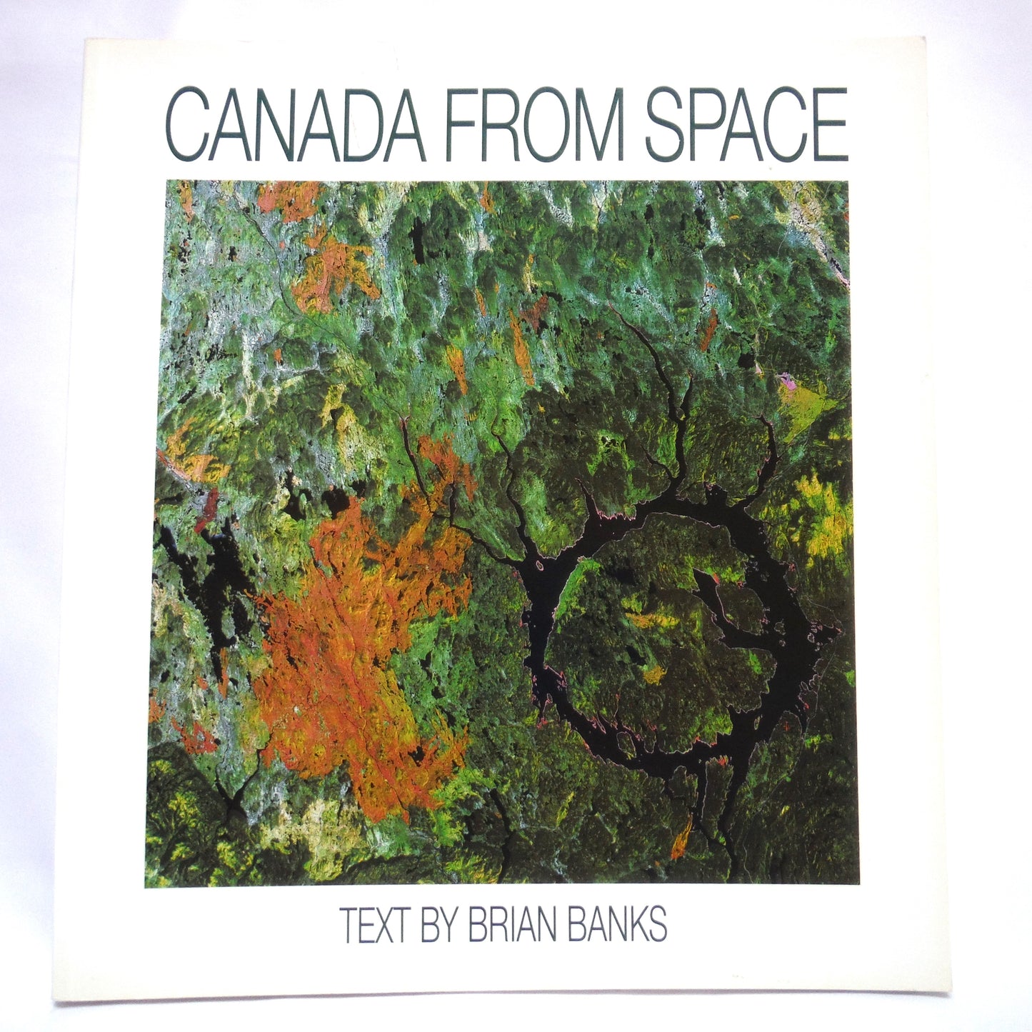
CANADA FROM SPACE, Text by Brian Banks, Photography by Satellites (1995 1st PB Ed.)
CANADA FROM SPACE, Text by Brian Banks, Photography by Satellites (1995 1st PB Ed.)
Couldn't load pickup availability
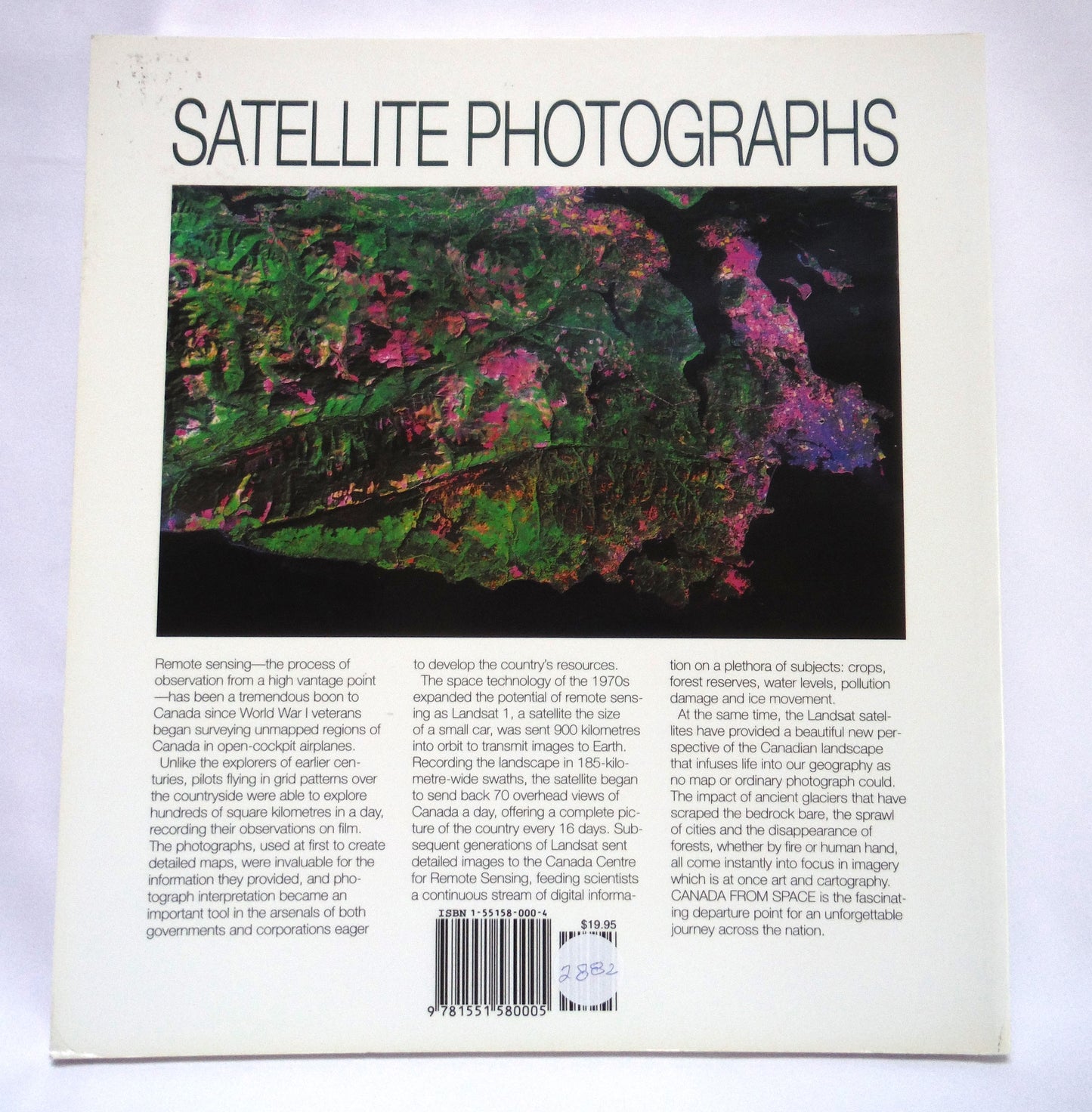
Author: Brian Banks. Photography by Satellites. Published by Camden House Publishing, North York, ON., 1989, 1st Edition. (1995 1st Paperback Edition) Printed in Canada by Friesens, Altona, AB., Almost New Condition SOFTCOVER Book, with minor cover wear. Clean inside, tight spine. Size: 11 x 10 inch, 120 pages including credits.
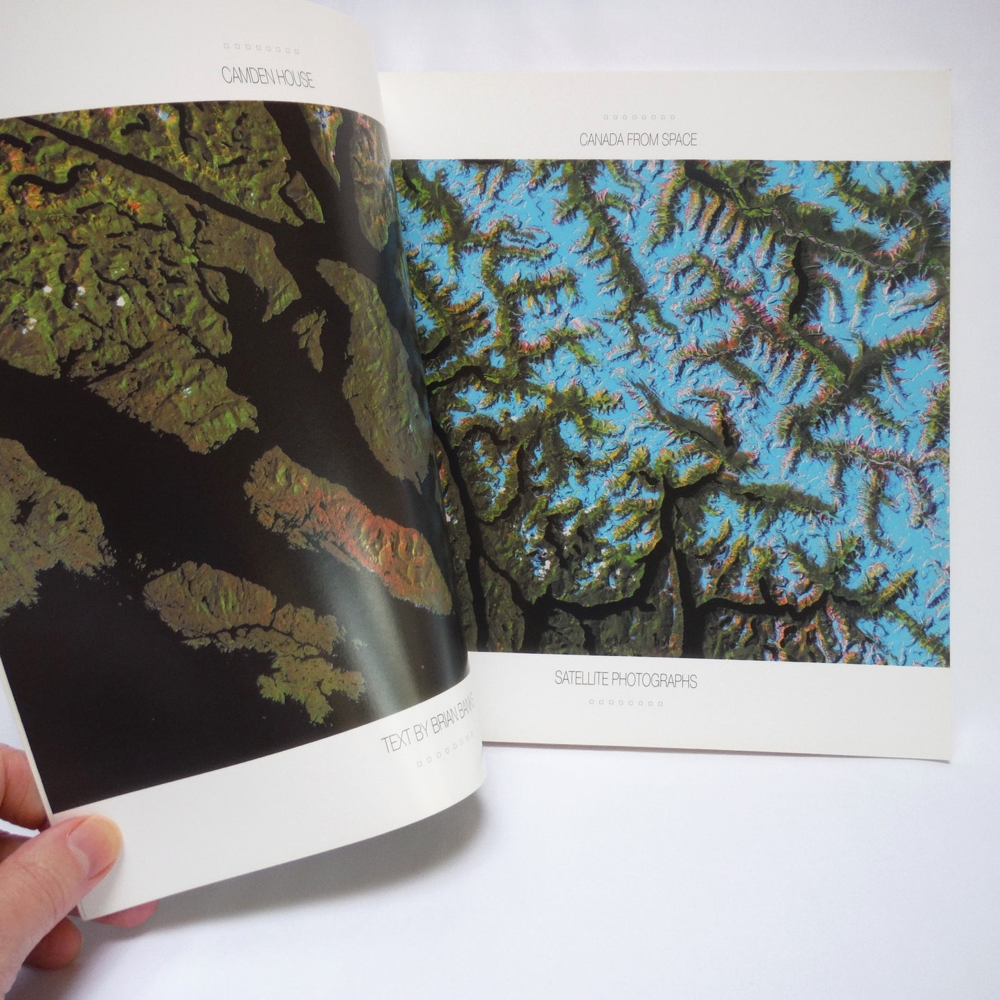
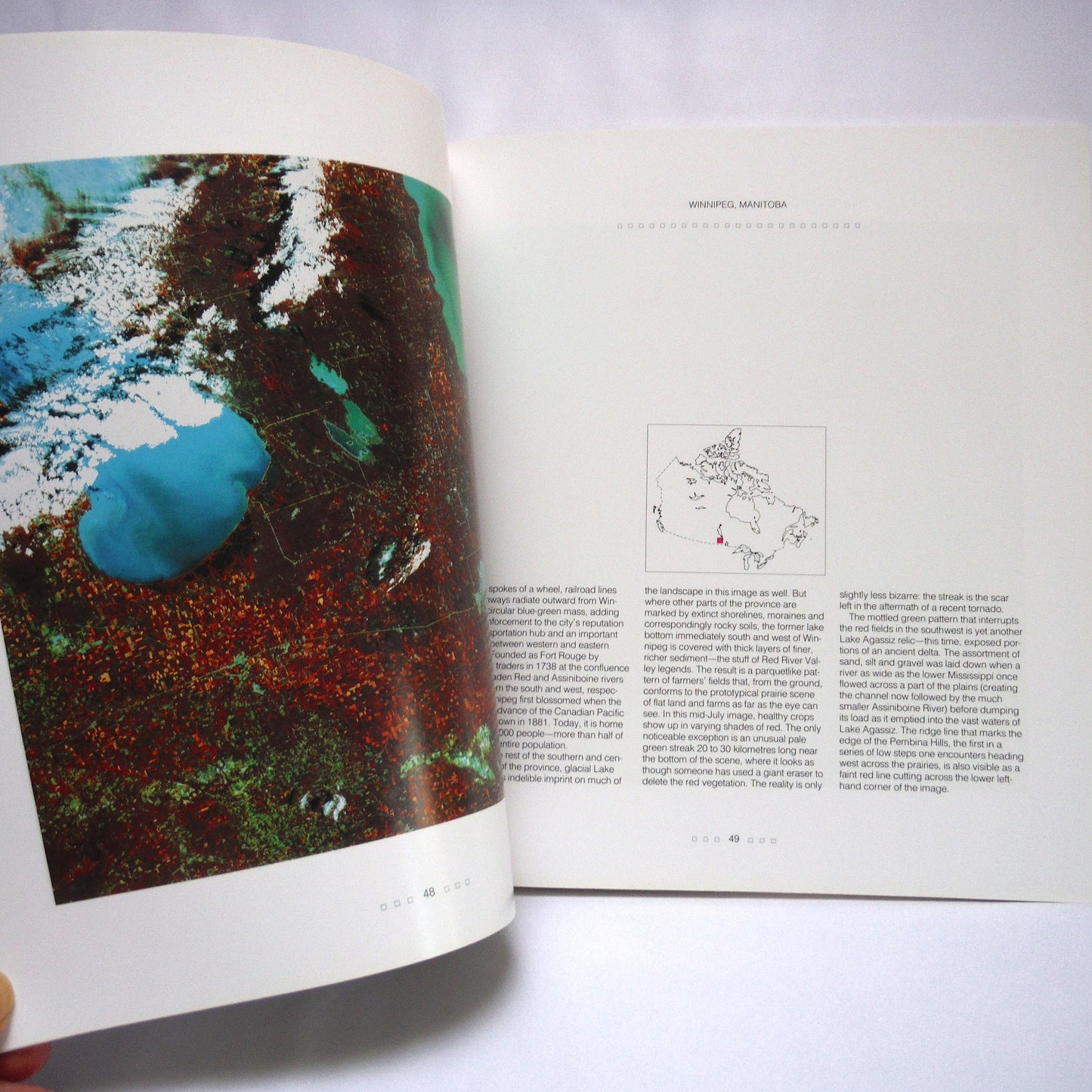
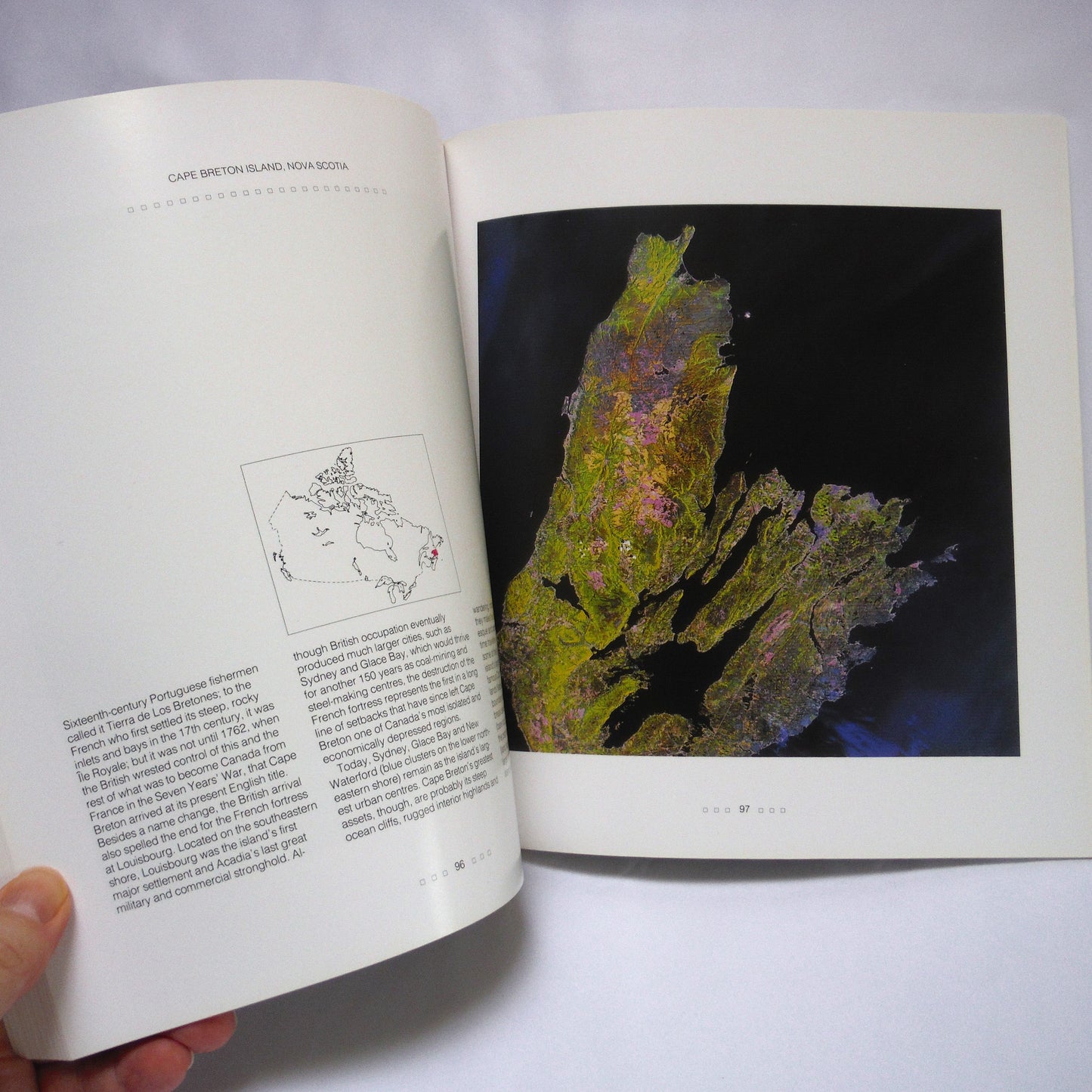
CANADA FROM SPACE, provides a unique and striking perspective on Canada's varied geography. Images are transmitted to earth from orbiting satellites such as the LANDSAT.
These images provide scientists with information on a variety of geographic topics including agricultural crops, forestry, urban land use, glaciation, and environmental or pollution damage. The marriage of digital source information from satellite with computer-enhanced imagery provides a striking product of maps with qualities of abstract art but with the informative nature of a traditional atlas - albeit from an entirely new perspective.
Share
